Review: Mapping Violence
“Mapping Violence.” https://mappingviolence.com. Created and maintained by the John Nicholas Brown Center for Public Humanities and Cultural Heritage, Brown University, Providence, RI (https://www.brown.edu/academics/public-humanities). Reviewed February 1 to February 4, 2019.
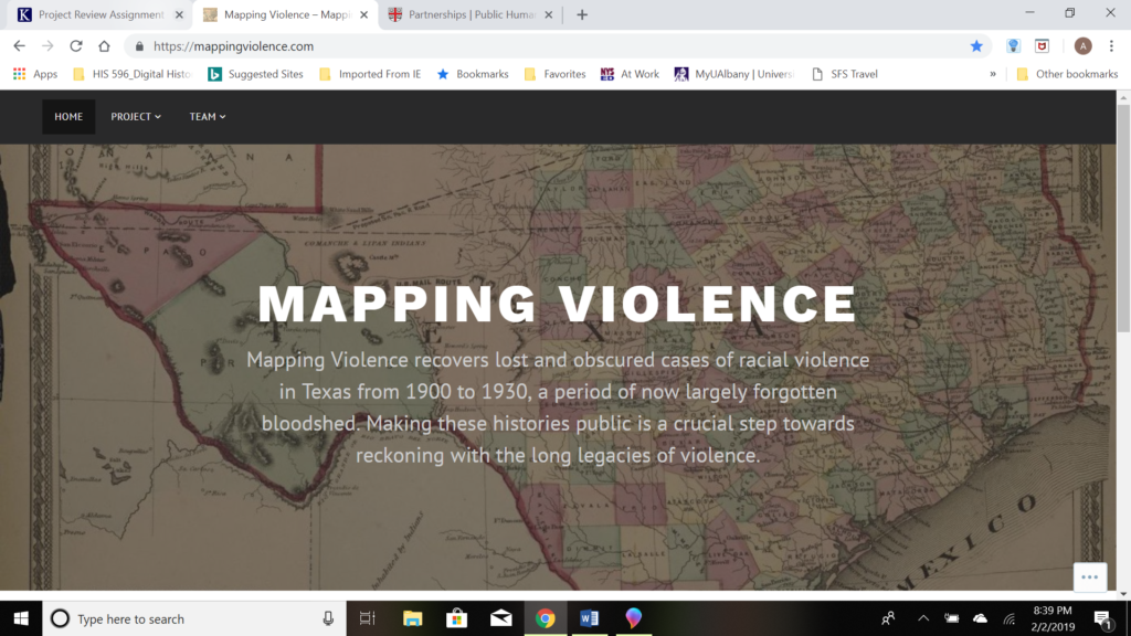
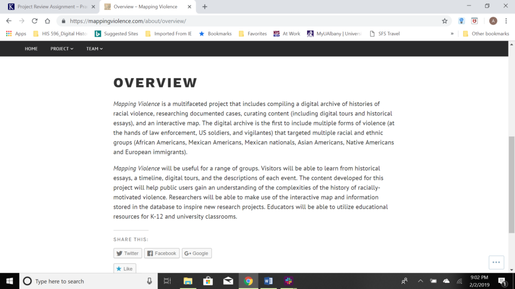
“Mapping Violence,” a collaborative research initiative through the John Nicholas Brown Center for Public Humanities and Cultural Heritage at Brown University seeks to visualize instances of racial violence in Texas between 1900 and 1930. Judging by the project overview portion of the website, this digital history project is in its relatively early stages. The current site includes the overview, a description of ongoing research being performed, and an interactive map of Texas on which are located specific incidents of racial violence. According to the overview, the project’s site will eventually include (in addition to the map) historical essays, a timeline, digital tours, and descriptions of each event. The project organizers also anticipate creating K-12 materials for in-classroom uses.
The “Mapping Violence” project seeks to address significant silences as within the archival record regarding racial violence in Texas in the early 20th Century. These silences, similar to those identified by Michel-Rolph Trouillot in Silencing the Past: Power and the Production of History, occurred during the creation of archives between 1900 and 1930. Noting that state and federal archives “neglected to keep accurate records of racially motivated killings,” the project website seeks to compile a more exact depiction of the horrors of racialized violence in place and time through the utilization of records created by various Civil Rights groups, including the National Association for the Advancement of Colored People (NAACP), and prominent activists such as journalist Ida B. Wells (https://mappingviolence.com/about/research/).
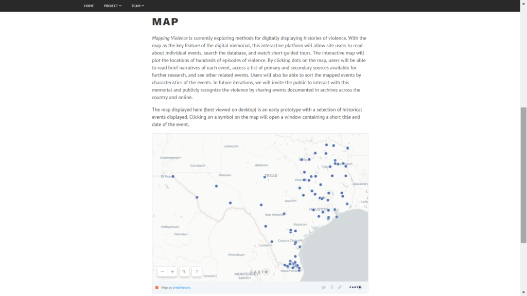
The present iteration of the website features an aesthetically functional map of Texas onto which are plotted specific instances of racialized violence that occurred at that location. Currently the interactivity is limited to clicking on individual plot points in order to view a pop-up text bubble into which the most cursory information regarding the event is listed, including individual(s) involved and the date.
Source information for the data presented is noticeably lacking on the current version of the project page. Each mapped plot point is ostensibly derived from a non-governmental archival source, yet no citation is included as to which of the several potential collections utilized by the project information for each event came from. Such source information would undoubtedly serve interested researchers well by providing a launching point for further research and exploration. Outside of learning the “who, where, and when” of the event, visitors to the website are left with no obvious path for navigation or further exploration of the event or its broader implications.
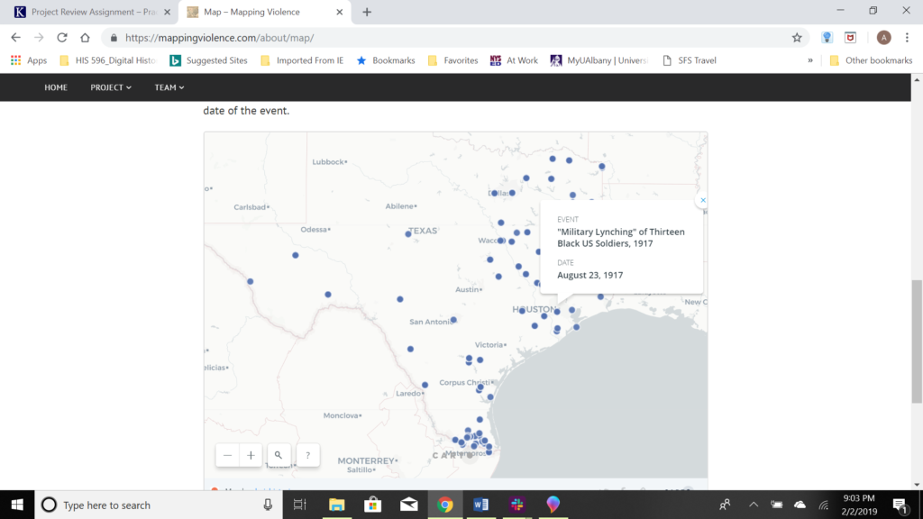
The interactive map features numerous plot points designating sites of racial violence in Texas from 1900 to 1930. Each site of violence is denoted by a blue dot. There is no variation between the individual plot points, nor is there a function to enable site user to sort or filter acts of violence by date, geographic locale, or type of violence committed. With the limited data made available to users via the map, the novelty and functionality of design are quickly displaced by a need and desire for additional information. Nor does the map serve as a particularly useful tool for assessment of Texas’ experience in regards to the number of incidents of racial violence. Because the map presents Texas in a vacuum, one is left to question whether Texas between 1900 and 1930 was atypical in terms of the number of incidents occurred? Did neighboring states experience comparable levels of violence during this time period? More? Less?
It seems clear that “Mapping Violence” remains a work in progress. Given the lofty goals for this mapping initiative as outlined in the project overview, visitors to the site can look forward to an increase in the functionality of the interactive web features, as well as a marked increase in the available historical data associated with each plot point.
Assuming that the “Mapping Violence” mapping initiative remains active; one can expect the level of functionality and utility to continue to increase as more data is made available to the website’s users. As it stands, the mapping of the site serves little purpose than to visualize the problems of racialized violence in Texas nearly a century ago but falls short at present in its stated goal to assist visitors in grappling with the legacies of racial violence as they resonate in contemporary society. Such an opinion should be viewed less as a critique than as measured anticipation for what the website will ultimately become. It remains teeming with untapped potential for scholarly researchers and classroom educators alike.