Invasion of America. A Review.
by Joshua Porter
http://usg.maps.arcgis.com/apps/webappviewer/index.html?id=eb6ca76e008543a89349ff2517db47e6/. Project Director: Claudio Saunt, Russell Professor of History at the University of Georgia. Reviewed, Made for eHistory.org. Reviewed February 1-4, 2019.
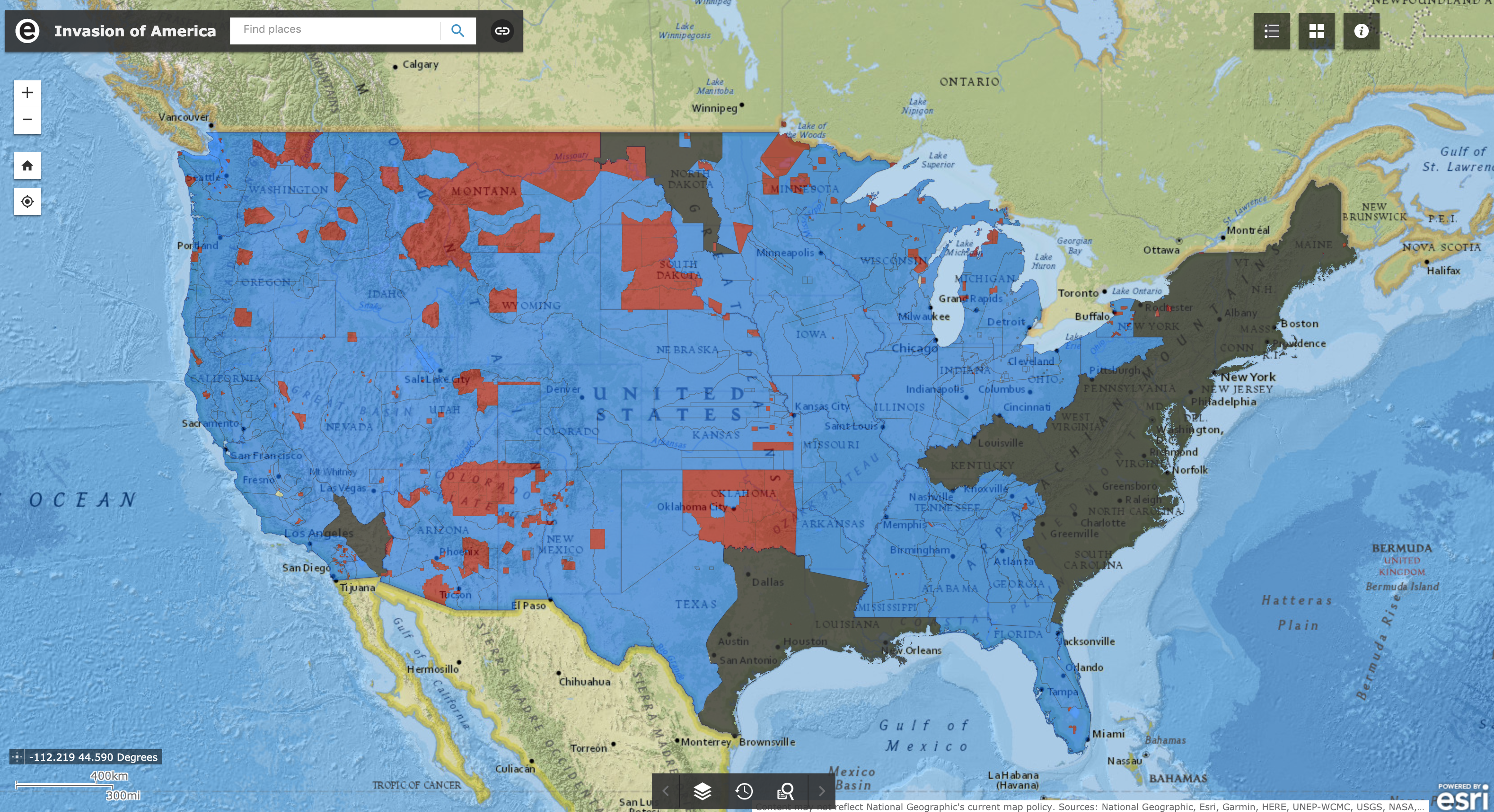
The page loads and there, in blue, black, and red is the map of the United States. The words “Invasion of America” hang over the map casting a shadow against the country below. The invasion being shown is the cartographic representation of manifest destiny. The invasion by American settlers at the expense of Native Americans. The map shows how the plodding expanse of American boundaries chipped and chiseled away native lands until only blips of red remain in the ocean of blue. The project, headed by Russell Professor of History Claudio Saunt at the University Georgia, aimed to show how with each treaty and transaction the United States took over 1.5 billion acres at the expense of Native Americans.
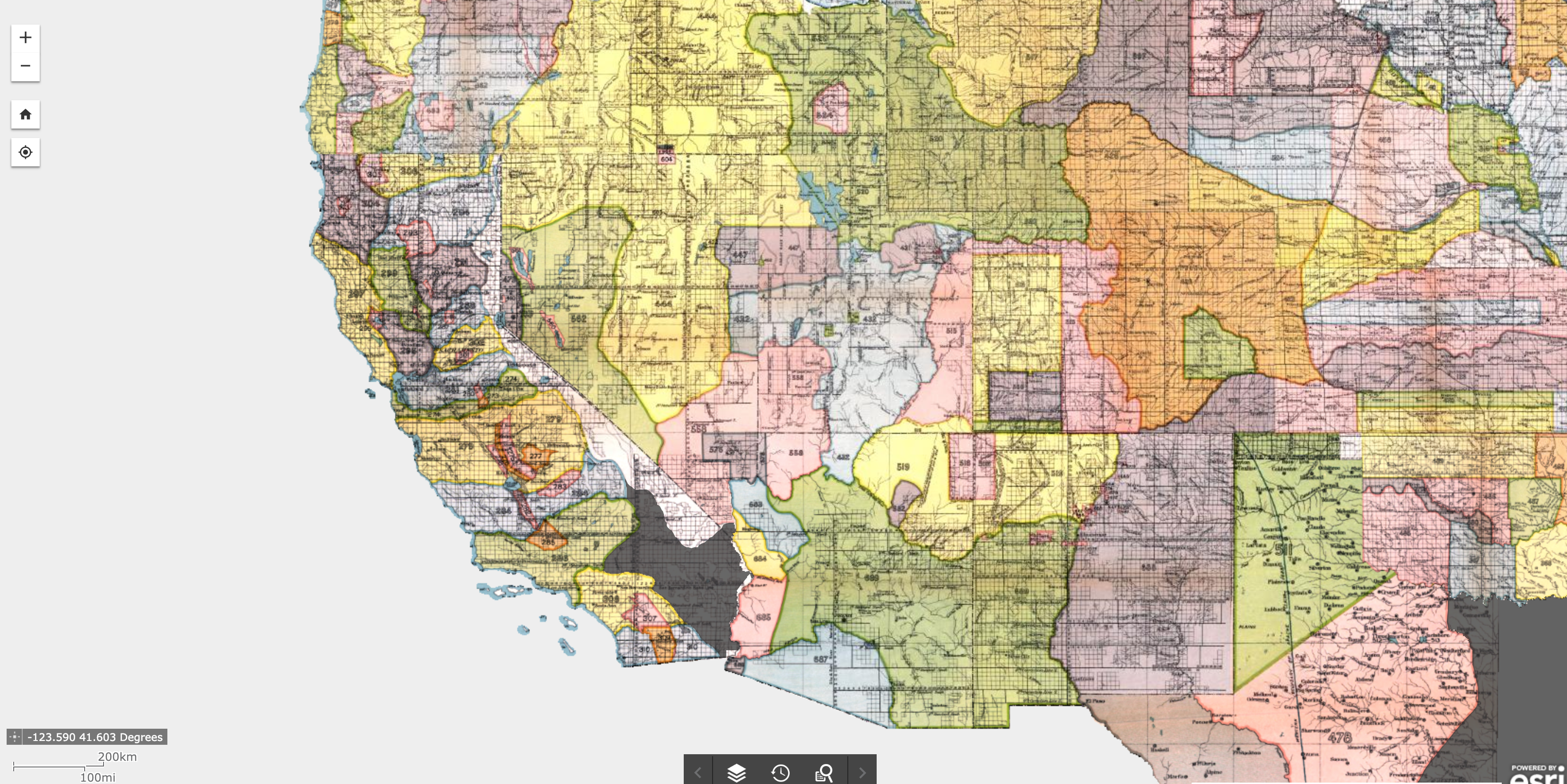
The project is simplistic in nature. The layout is familiar to anyone who has used Google Maps, with zooming and panning at the visitors fingertips. There are three different versions of the basemap; satellite, National Geographic, and “Source Maps.” The latter being the sources for the map itself. S
The highlight of the project is the time lapse of the hundred years from 1784 to 1884. It shows in slow, grueling detail the advance of the American “homeland” across the country from the original colonies. Also included is a link to a YouTube video that shows the similar progression. The project allows the viewer to apply layers on top of the base map choice, allowing the viewer to see current reservations and to hide the “Historic Ceccessations.”
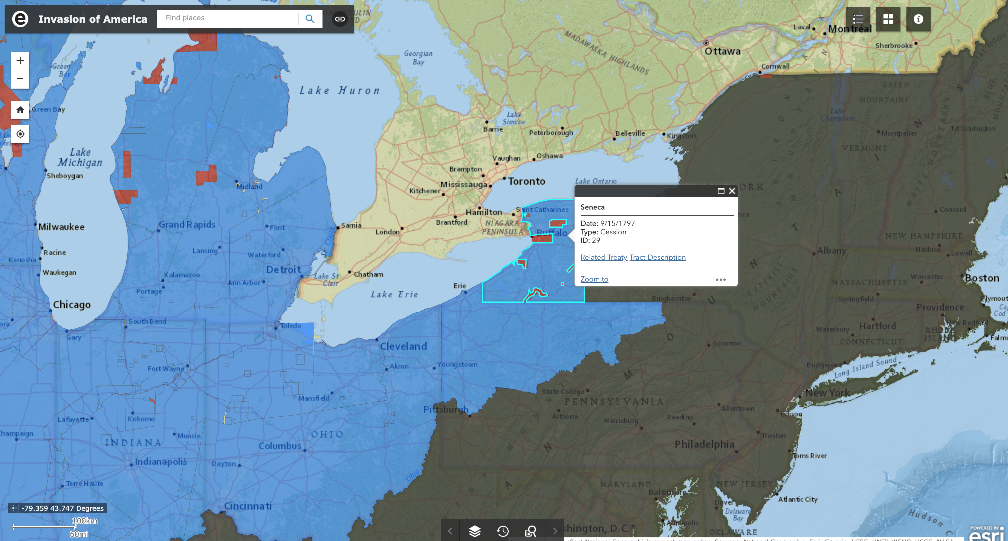
The other headline feature of the project is the ability to click on a parcel of ceded land to discover the name of the tribe in which it belonged to, the date it was ceded, and a hyperlink to a copy of the treaty or Executive Order. The project is feature rich in spite of the basic design and antiquated style.
Invasion of America is making a statement, showing the massive cessation of lands following the Revolutionary War. The project offers a newcomer to the history an easy to follow progression of events through the timeline, while a more veteran historian could make use of the parcel lands and the relevant treaties. Invasion does this through segregating the features and not falling into the trap of minimalist style at the expense of usability.
Invasion of America took the promise of a democratization of history through digital and through technology created a piece of history without people. By putting the map at the forefront and the acreage of lost land, the project wants to quantify suffering and loss, to place the subject in a timeline and on a map. In essence, the map does not matter. The project could put blue sand in an hourglass and created a time lapse. The effect and result would have been similar.
Zooming in, Invasion’s procession of events obfuscates the tumultuous period between white settlers and Native Americans. By looking so far above the ground, it makes the suffering of individuals be farther away. The Trail of Tears is just a the blue light flickering out in a second. The American Indian Wars hidden beneath the seemingly inevitability of the disappearing blue area. All Native American tribes and people are represented as a blue hegemony, erasing their differences. The deaths, sacrifices, triumphs, and victories are hidden beneath the layers of the map. The project comes to the conclusion that a map can teach history, show history, but instead it deletes the importance of history; the people.
2 Comments
Maeve Kane
That’s a great point about the inevitability of the presentation. Do you think there could have been any changes or additions that could have countered this?
jporter
I think the project could have added the battles fought during the American Indian Wars and that would have led more credence to the fact that the cessation of lands was not a plodding, inevitable march across the continent. That there was resistance against the United States government and that often it was bloody affair. Having omitted this seems a tad bit odd considering the title of the project was “The Invasion of America.”