Mapping Great Lakes Shipwrecks Progress Post
I have been chugging away on the project. This weekend, the main two things I worked on was data cleaning the build information to produce the Build Location map for the wireframe as well as continuing to add Latitude and Longitude to my entries.
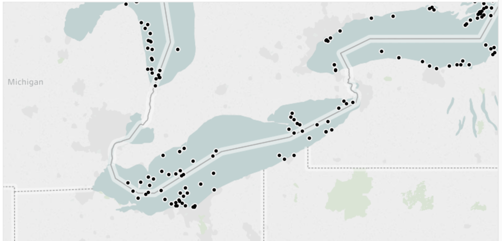
At this point, I have 2000 wreck entries for the Great Lakes. Of those, I have Lat/Lon information inputted for 750. For the coming weeks, most of my work will be slow and steady data entry of those Lat/Lon’s. The first portion are direct wreck locations coming from Diving Guides (just got a new one!). The second method for gaining Lat/Lon’s (for ships without a published located or ones that have not yet been discovered) is to plot out an estimation of the ship’s loss location in Google Maps (using primary sources) and imput that. I’m keeping space between wreck locations and loss locations in my master sheet, though the two are mixed in my Tableau map.
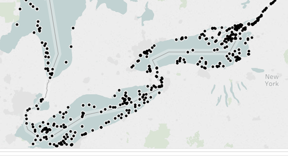
Below you can see some of my progress this weekend from the before and after pics when I updated the map in Tableau with 50 additional Lat/Lon’s (I spent too much time on this project this weekend, my girlfriend was not pleased).