Wireframe
-
-
-
(Wireframe) A Geographic Analysis of Russian Economic Development, c. 1700-1913
Intro
This space will be used to provide context regarding Russia’s industrialization in the 19th century. This section will also address the relevant research questions:
- How did the industrialization of Russia in the late 19th century impact economic development in the borderlands of the rapidly expanding Russian Empire?
- To what extent did economic development occur outside of Russia’s industrial core regions (Central, Ural, Volga)?
- How did the diverse geography of Russia impact the development of particular industries during the late 19th and early 20th centuries?
-
Who are Yankee Whalemen?

This project trace the development of the labor force of the American whaling industry over the nineteenth century. Using the New Bedford whaling crew list database as a data set and the use of network analysis and mapping this project reveals the racial and geographic makeup of the whaling crews. This project will be structured as an interactive dashboard with multiple visualizations that change based on the input of the reader. The data will be filtered by year which will be able to be changed by a drop-down menu at the top of the dashboard.
-
Wireframe: Pittsfield Census Records
The structure of this project will be composed of a series of interlinked web pages utilizing the program Twine. The different pages are as follows: Introduction, 1920 Census, 1940 Census, Further Information/Reading List, and Future Project Goals.
Introduction Page
The Introduction page will have a large, centrally placed image of a ward map of Pittsfield, Massachusetts. Underneath the image, visitors to the site will be able to read the main argument of the project.
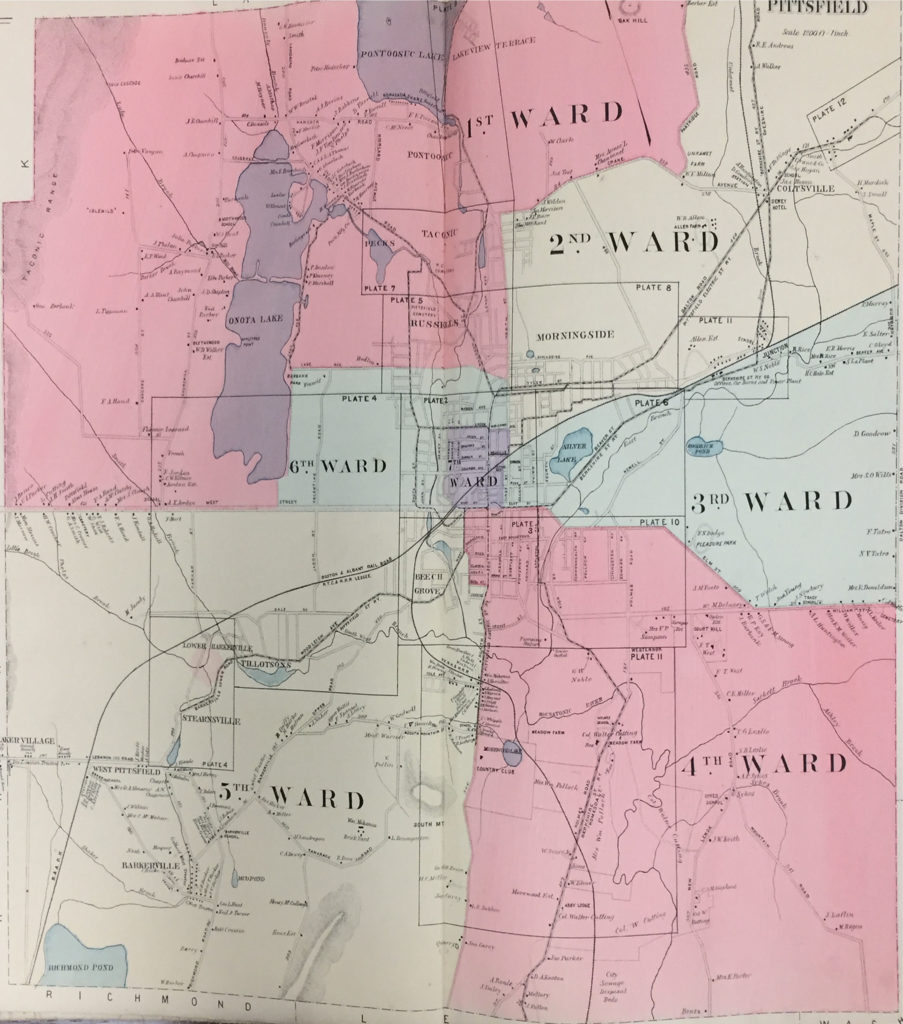
Introduction Map (1899)